
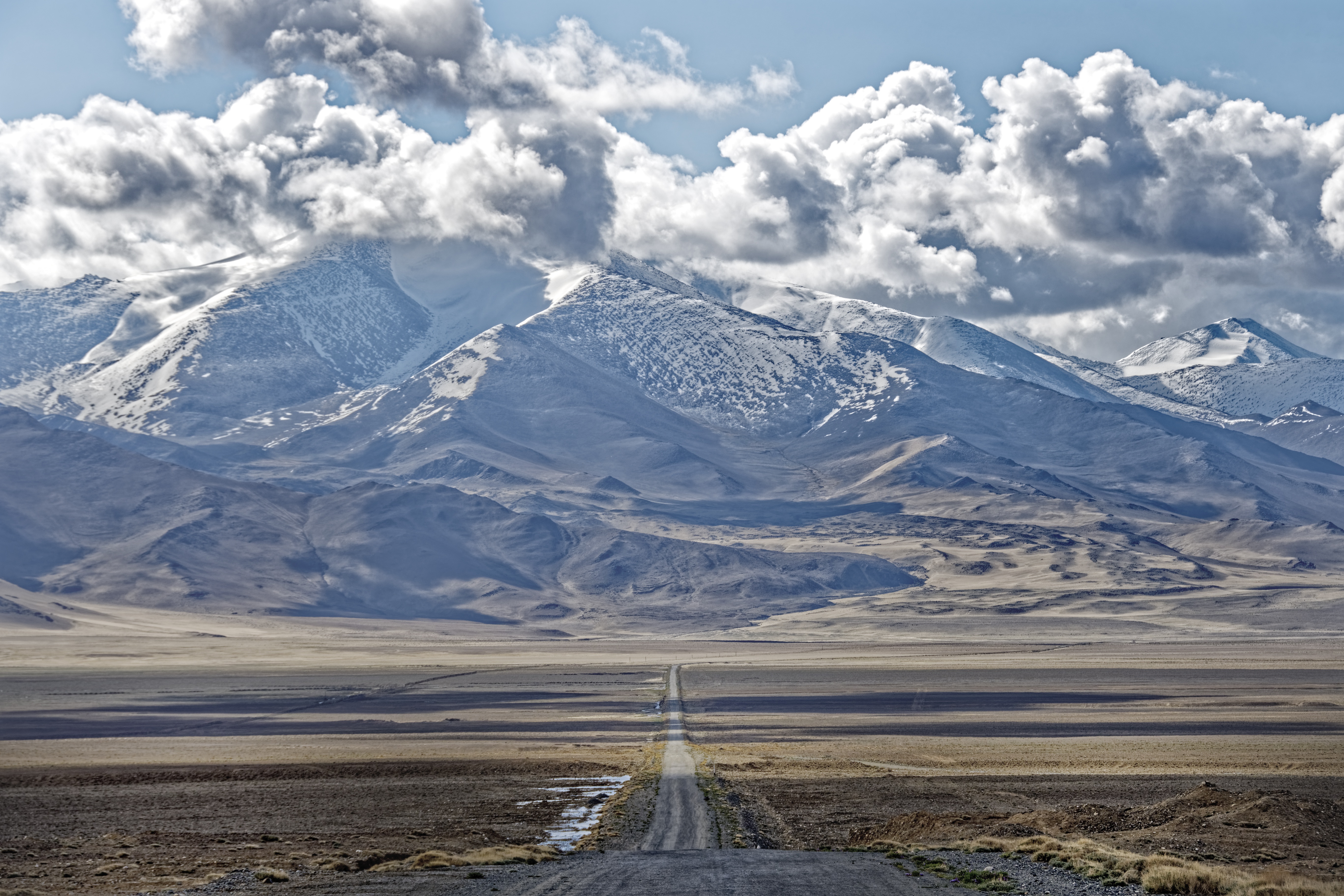
The Pamir Highway: The World's Second-Highest Road Through the "Roof of the World"
Few roads on Earth test both a vehicle and a traveler's nerve quite like the Pamir Highway. Officially designated the M41, this legendary route winds through the Pamir Mountains — often nicknamed the "Roof of the World" — connecting Central Asia's most remote high-altitude terrain with the rest of the region. It remains the second-highest international highway in the world, surpassed only by Pakistan's Karakoram Highway.
An Ancient Route in Modern Form
The Pamir Highway isn't a Soviet invention so much as a Soviet-era upgrade of something far older. The corridor it follows has been used for millennia as one of the few viable passages through the Pamirs, and it formed a link in the ancient Silk Road, carrying trade between Central Asia, South Asia, and China long before it carried trucks and jeeps. Its modern form took shape gradually — surveyed in part during the 19th-century "Great Game" era of Russian-British rivalry, then substantially built out by the Soviets in the 1930s to connect and supply the empire's most isolated frontier region.
Geography That Doesn't Compromise
Running roughly between Dushanbe, Tajikistan, and Osh, Kyrgyzstan, the full M41 designation stretches over 1,200 kilometers, passing through Uzbekistan and Afghanistan as well. Most of the route lies within Tajikistan's Gorno-Badakhshan Autonomous Region, for which the highway remains the essential supply artery — there is simply no other continuous route through this terrain.
The road's statistics alone explain its reputation. Its highest point, the Ak-Baital Pass, sits at 4,655 meters — among the highest paved passes anywhere in the world — while the Kyzylart and Taldyk passes each top 3,600–4,200 meters. Along the way, the highway passes through Murghab, the highest settlement in all of Central Asia, perched at roughly 3,600 meters. Much of the pavement, laid decades ago, has been steadily worn down by erosion, earthquakes, landslides, and avalanches, giving the route its enduring reputation as a true 4x4 adventure rather than a casual drive.
More Than a Road
For travelers, the Pamir Highway is as much about what lies beside it as the driving itself. The route skirts the Wakhan Valley along the Afghan border, passes beneath 7,000-meter giants like Lenin Peak and Ismail Somoni Peak, and threads through villages where Pamiri and Kyrgyz communities maintain ways of life little changed by the modern world. It has become one of the world's most celebrated overland journeys for adventure cyclists, motorcyclists, and 4x4 travelers — a route where the destination is genuinely the journey itself.
For a region already defined by the Silk Road's legacy of connection across impossible terrain, the Pamir Highway is its living continuation — proof that Central Asia's crossroads spirit never really stopped moving.