The Great Deserts of Central Asia: Karakum and Kyzylkum
Central Asia is defined as much by its deserts as by its mountains and oases — and two of them, the Karakum and the Kyzylkum, together cover an area larger than France and Germany combined. Separated by the Amu Darya River, these twin deserts have shaped the region's history, trade routes, and way of life for thousands of years.
Karakum: The "Black Sand" of Turkmenistan
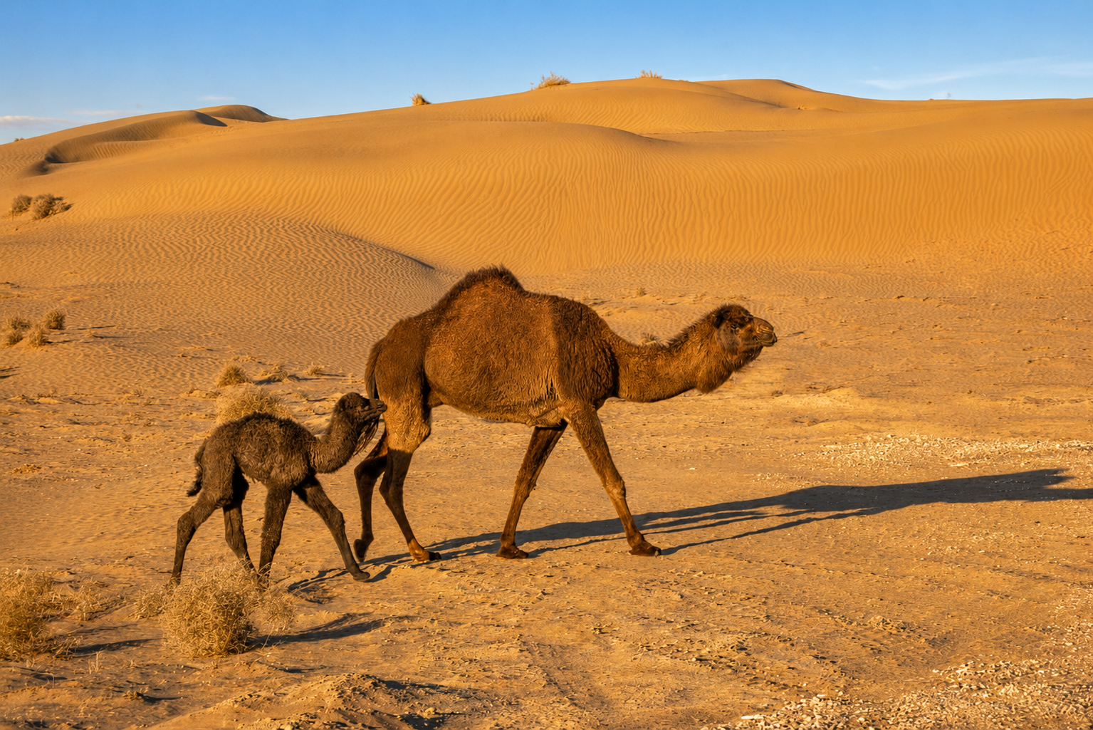
The Karakum Desert — "Black Sand" in Turkic languages, referring to the dark, shale-rich sand beneath its surface — covers roughly 350,000 square kilometers, making it the 12th largest desert in the world. It occupies approximately 70% of Turkmenistan's entire land area, stretching about 800 kilometers from west to east and 500 kilometers north to south. Rainfall is scarce, averaging just 70–150 mm a year, and the population is correspondingly sparse — roughly one person per 6.5 square kilometers.
Despite its harsh climate, the Karakum has long supported life. Locals traditionally dug deep wells and built clay catchment basins called takyrs to collect rare rainfall, and the desert remains vital pastureland for Karakul sheep. The Soviet-built Karakum Canal, stretching 1,375 kilometers from the Amu Darya toward the Caspian Sea, brought large-scale irrigation to the region starting in the 1960s. The desert is also home to the Darvaza gas crater — the "Door to Hell" — created by a 1971 drilling accident that has burned continuously ever since, now one of Turkmenistan's most recognizable images abroad. Beneath the sand lie substantial oil and natural gas reserves, a major pillar of Turkmenistan's modern economy.
Kyzylkum: The "Red Sand" Between Two Rivers
East of the Karakum, across the Amu Darya, lies the Kyzylkum Desert — "Red Sand" — spanning about 300,000 square kilometers across Uzbekistan, with smaller portions in Kazakhstan and Turkmenistan. It sits in the historic region of Transoxiana, the land "beyond the river" long celebrated as a Silk Road crossroads, cradled between the Amu Darya and Syr Darya rivers.
Unlike the flatter Karakum, the Kyzylkum has real topographic variety: isolated mountain ranges such as the Bukantau, Kuljuktau, and Tamdytau rise above the plain, the last reaching nearly 972 meters. One of its more surprising features is Aydar Lake, a vast man-made body of water — created by accident during Soviet irrigation projects — now nicknamed "the turquoise sea in the sands" for the wildlife and birdlife it supports in the heart of the desert.
Two Deserts, One Shared Story
Together, the Karakum and Kyzylkum have historically acted less as a barrier than as a corridor — their oases and river margins guided the caravan routes of the Silk Road for over a thousand years, connecting the cities of Merv, Bukhara, Khiva, and Samarkand. For today's traveler, they offer a similarly striking contrast to the region's monumental architecture: star-filled desert nights, the eerie glow of the Darvaza crater, and a landscape that still feels genuinely untouched.